|
|
 |
|
|
|
 |
 |
 |
 |
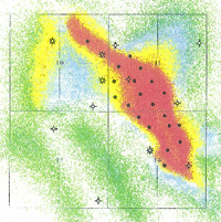 |
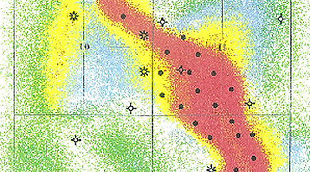
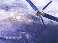
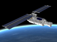
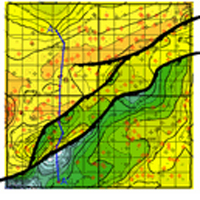
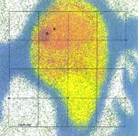
Advanced Satellite Imagery to Hydrocarbon Prospecting
With the use of sophisticated software and high power computing, we are able to delineate oil and gas reservoirs through satellite imagery and mapping.
The Hydrocarbon maps will indicate reservoirs that are trapped in channel sands, anticlines, reefs, fault traps, and other mechanism that traps the hydrocarbon in the reservoirs.
We are not interested in the trapping mechanism, we are focused on the reservoir.
This is a specialty professional mechanism for our geologists to locate hydrocarbon pools.
